
Cargando...
What can I do?
Find
Display
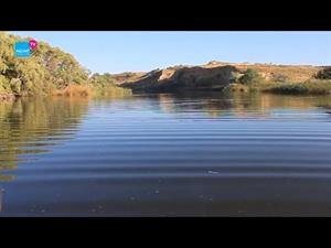
¿Cuál es el río más extenso de España? ¿Cuántos kilómetros tiene? ¿Qué comunidades autónomas atraviesa? En este víde ...
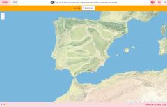
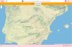
Try to figure where is located on the map each item of the spanish physical relief given.
Zoom in or zoom out the map in order to adjust it to the size of your desktop’s device. You also can clic ...
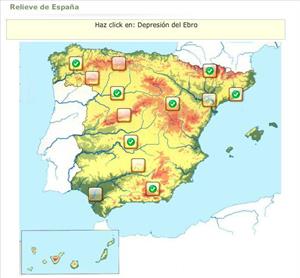
Would you know to locate on the map each landform you are being asked for? Try yourself with this interactive map of Didactalia.
Zoom in or zoom out the map in order to adjust it to the size of your de ...
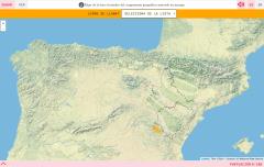
Do you know what is the name of each landform shown on the map? You have to choose the right answer from a list with several possible options.
Zoom in or zoom out the map in order to adjust it to the s ...
Would you know to locate on the map each landform you are being asked for? Try yourself with this interactive map of Didactalia.
Zoom in or zoom out the map in order to adjust it to the size of your de ...
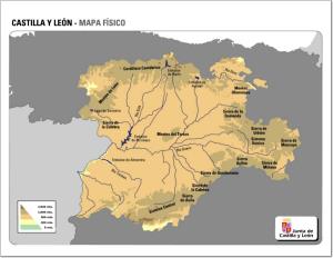
Si aún no conoces la geografía física de Castilla y León, con este mapa en el que se muestran los ríos y los sistemas montañosos más importantes de la zona podrás hacerlo fácilmente.
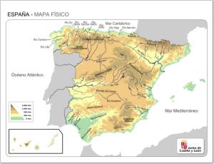
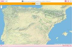
En este mapa se encuentran señalados todos los ríos y sistemas montañosos de España.
Es un contenido de la sección Mapas Interactivos de la Junta de Castilla y Le&oac ...

Mapa mudo de España en el que están identificados los ríos y los sistemas montañosos más destacados de la geografía española.
Es un contenido de la secc ...
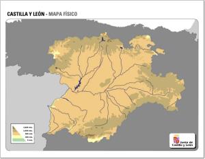
¿Conoces los ríos y sistemas montañosos de Castilla y León? Demuéstralo completando este mapa mudo de la zona.
Un juego interactivo creado por Eloy Antonio León Parra con la herramienta Educaplay. Tienes que identificar el el mapa las cordilleras y macizos montañosos españoles por los qu ...
Add to Didactalia Arrastra el botón a la barra de marcadores del navegador y comparte tus contenidos preferidos. Más info...


